Parker Schwarz · 1 September 2026
Documenting Decades of Change: A Photographer's Lens on Steinhain's Evolving Structures
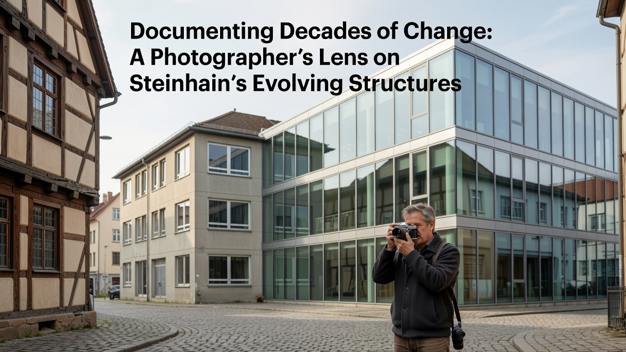
Steinhain has undergone measurable structural transformations across several decades, and one photographer has recorded these shifts through consistent visual documentation that spans from the 1980s onward. The work captures residential buildings, industrial sites, and public infrastructure as they adapt to economic pressures, population movements, and regulatory updates. Observers note that repeated visits to the same locations allow direct comparison of facades, rooflines, and surrounding landscapes without relying on memory alone.
Early Documentation Efforts
Initial photographs from the late twentieth century show timber-framed houses alongside early concrete additions, while later images reveal replacements with energy-efficient materials required by updated building codes. Data from teh German Federal Office for Building and Regional Planning indicates that thermal insulation standards tightened significantly between 1990 and 2010, and the photographic record aligns with those policy shifts. One series focuses on a single street where shopfronts widened to accommodate larger retail spaces, then narrowed again when pedestrian zones were introduced in the early 2000s.
Researchers at technical universities have used similar image sequences to study material degradation rates, comparing brick weathering patterns across seasons and decades. The photographer's archive supplies dated reference points that complement quantitative measurements collected by engineering teams.
Mid-Period Shifts in Industrial and Residential Zones
During the 1990s and 2000s, several factory buildings near the railway line were converted into mixed-use developments. Sequential photographs track the removal of loading docks, installation of new windows, and addition of green roofs that meet current environmental guidelines. Figures released by the European Environment Agency show urban green space targets rising steadily in member states, and the visual evidence in Steinhain reflects those broader targets through incremental landscaping changes.
Residential neighborhoods display parallel patterns. Older single-family homes appear with original pitched roofs in early frames, then flat extensions appear in later ones as families expand living space without moving. Those who've examined municipal permit records alongside the images find that most modifications coincide with documented zoning adjustments rather than random individual choices. The consistency of the photographic approach, using the same vantage points and lighting conditions where possible, reduces variables that often complicate longitudinal studies.
Digital Transition and Expanded Reach
By the 2010s the same photographer began incorporating digital capture alongside film, allowing higher volume without increased cost. This shift coincides with wider availability of online municipal archives, and cross-referencing becomes simpler for anyone studying the sequence. A project launched in collaboration with local historical societies digitizes selected negatives, making the full timeline accessible through a public database that launched in 2022.
What's notable is how the work intersects with academic research on urban resilience. A 2023 report from the Canadian Centre for Architecture examined comparable European towns and cited photographic archives as primary sources for understanding incremental adaptation rather than abrupt replacement. Steinhain's documented examples contribute to that dataset because the images maintain geographic precision over time.
September 2026 Exhibition Plans
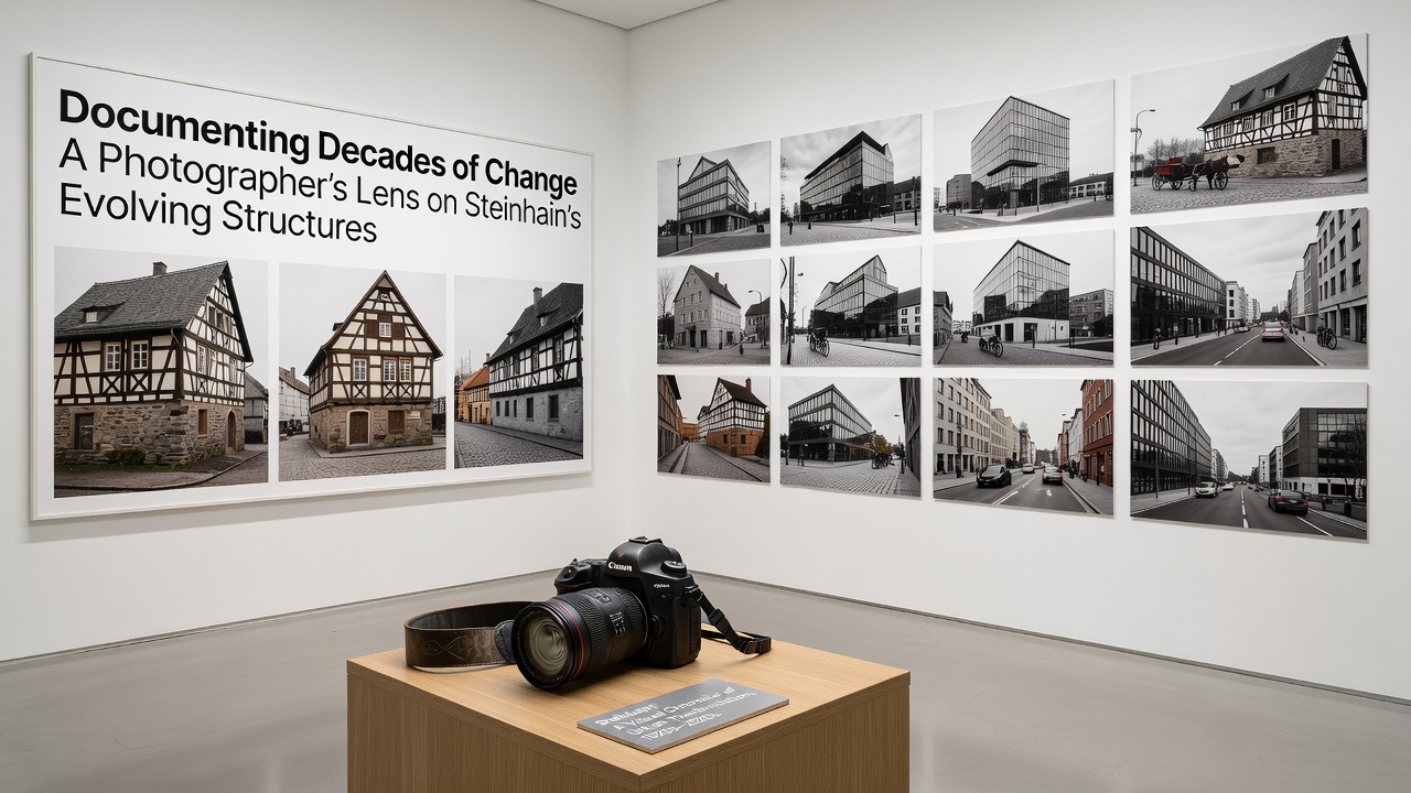
An exhibition scheduled to open in September 2026 at the Steinhain cultural center will display newly printed large-format images alongside earlier prints. The display will include interactive stations where visitors can overlay current satellite views with historical photographs. Organizers state that the event coincides with the release of an updated digital catalog that incorporates drone footage of rooftops and courtyards previously visible only from ground level.
Additional panels will present statistical overlays showing population density changes drawn from state census data, placed next to corresponding street scenes. This combination allows direct visual correlation between demographic figures and physical alterations to building stock.
Conclusion
The photographic record of Steinhain's structures supplies a continuous visual baseline that aligns with policy documents, engineering reports, and census statistics. Because the same locations reappear across decades, researchers and planners gain a reference set that tracks both visible and regulatory evolution without requiring new fieldwork for every inquiry. The September 2026 exhibition extends public access to this timeline while adding contemporary layers that keep the documentation current.